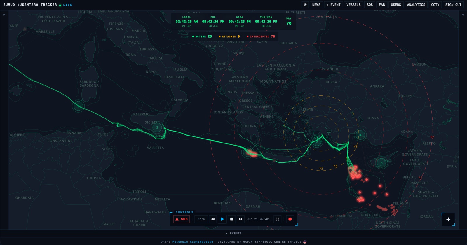
05 · For humanitarian activistsLive
SiagaX Bencana
Live flood alerts, river levels and relief centres across Malaysia, on one map.
Web, Installable on phones
SiagaX Bencana puts Malaysia’s flood and disaster warnings on one live map: rivers at alert level, heavy rain, open relief centres, and earthquake and tsunami bulletins.
Its data comes from official sources. River levels and rainfall come from Public Infobanjir, relief centres (PPS) from JKM, and weather warnings and earthquake bulletins from MET Malaysia.
I built it and keep it running for MAPIM Strategic Centre.
- River alerts
- Stations at Alert, Warning or Danger level, with the water level, whether it is rising, and the last hour’s rainfall.
- Station history
- Open a station to see its water level over the past 7 days and its rainfall over the past 3 days.
- Relief centres
- Open JKM relief centres on the map, with each one’s capacity and how many families, adults, children and babies are sheltering there.
- Earthquakes and tsunamis
- MET Malaysia earthquake bulletins from the past 7 days, with the magnitude and any tsunami watch or warning.
- Weather warnings
- MET Malaysia warnings scroll across the top of the map.
- Find a place
- Search for a place in Malaysia and pin it on the map in a colour you choose.